Surveying & GIS

Land Survey is one of the major service being provided by the company. The company ranks among the top and largest land survey consultants in the Kingdom.

The Company has successfully executed large number of topographic and cadastral survey projects. Experienced and qualified surveyors are capable of performing the job continuously with precision and accuracy.

We believe in following the technological advancement to provide better services to the client. Our surveyors are equipped with latest and advanced surveying equipment to do the work consuming much less time and maintaining high accuracy.

Our GIS department is skilled in providing techinal support to our clients in establishing GIS-based databases and management of huge database and analysis works.

Wadi Al Asla Site Survey

  • 20090617101
  • 3D
  • PIC_2329
  • PIC_2952
  • PIC_3025
  • PIC_3037
  • PIC_3040
  • alljoin_WGS84 CONTRL PT TOPO ALL 2
  • alljoin_WGS84 CONTRL PT TOPO ALL
  • filled cont

Project: Wadi Al Asla Site Survey
Location: Jeddah Development and Urban Regeneration Co.
Client: Jeddah City
Area: 130 sq.km
Services Provided: Cadastral & Topographical Surveying & Mapping
   
Brief Description:  
 
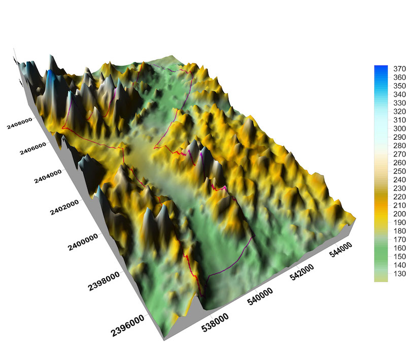
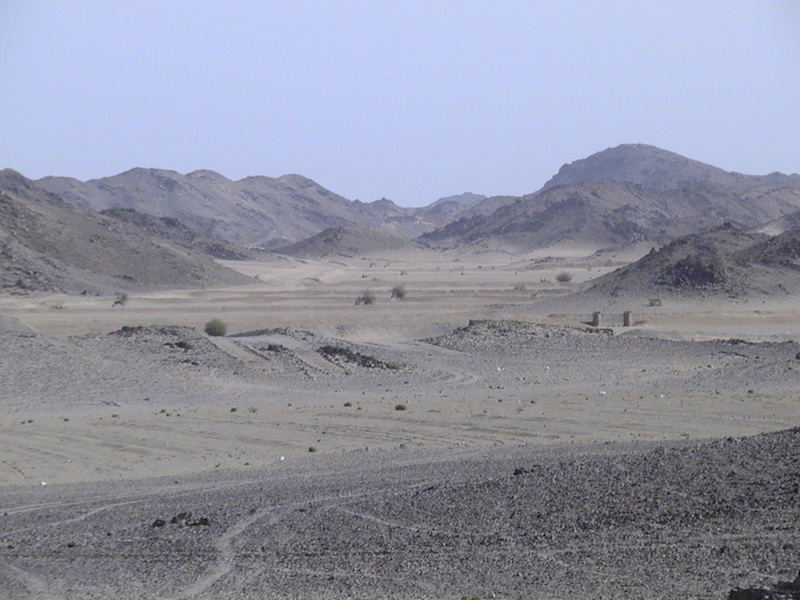
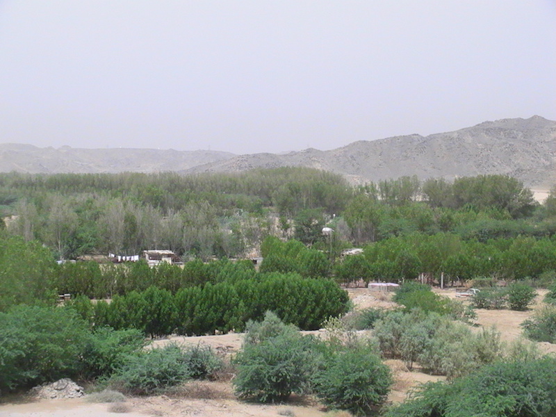
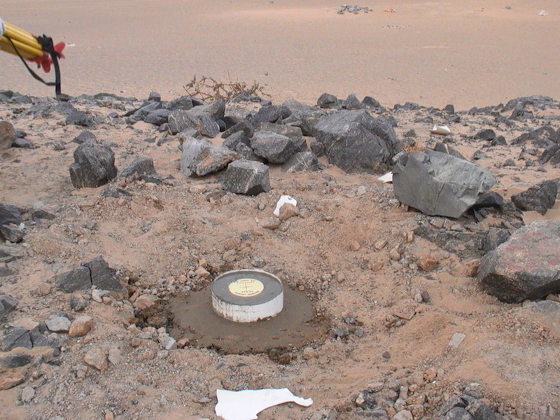
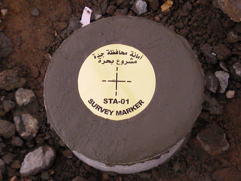
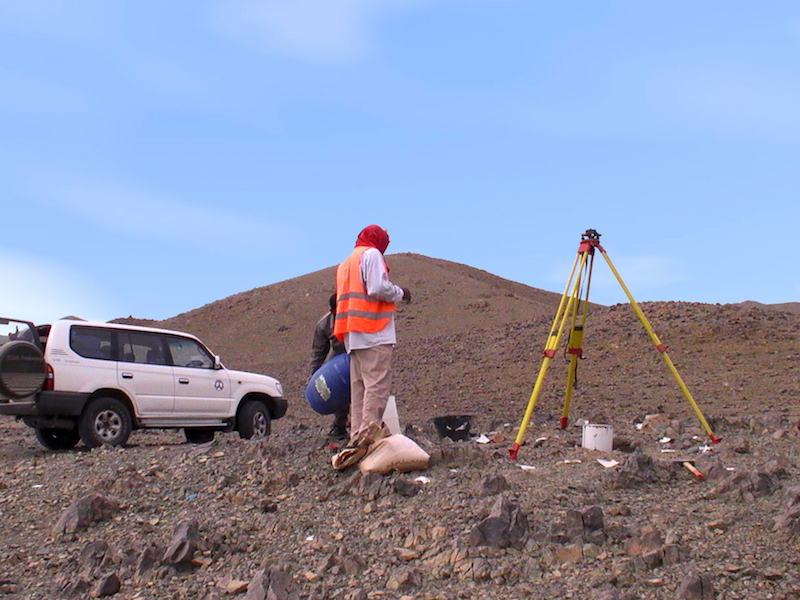
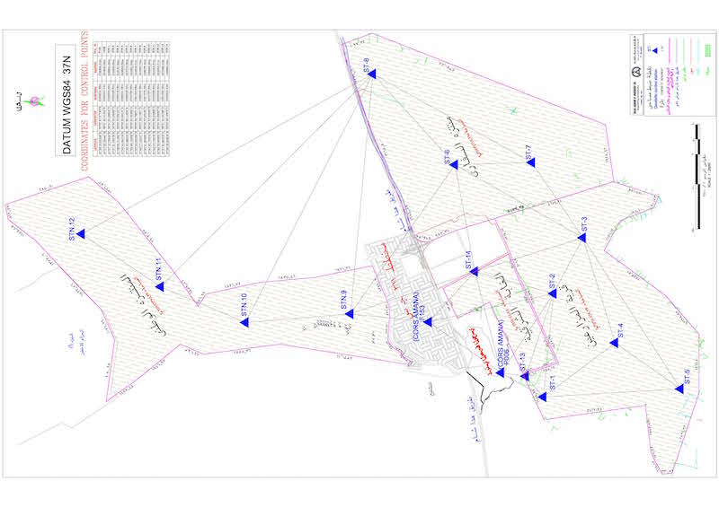
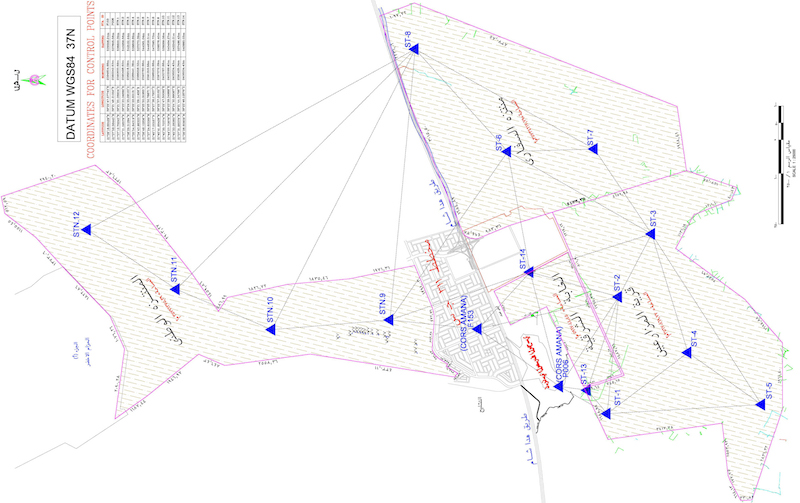
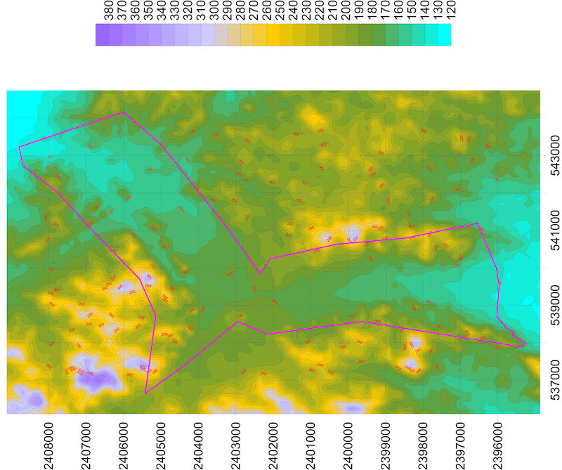
TAPCo has done detailed topographic survey for Wadi Al Asla Site. The site is located to the east of Jeddah and has variance in topography.  Total area of the site is around 130 sq.km. In addition to the topographic data, leveling data was also collected in order to generate DTM and cross sections for the site.
The site is being designated by the client to develop recreational area for Jeddah city.

Quick Links


Head Office
Salma Commercial Center, Al-Sharafiyaah Dist., Madinah Road, Behind Radisson Blue Hotel, Jeddah, KSA
Tel: +966 920 001 701
Fax: +966 12-657 281
Email: Info@tapconsu.com