Surveying & GIS

Land Survey is one of the major service being provided by the company. The company ranks among the top and largest land survey consultants in the Kingdom.

The Company has successfully executed large number of topographic and cadastral survey projects. Experienced and qualified surveyors are capable of performing the job continuously with precision and accuracy.

We believe in following the technological advancement to provide better services to the client. Our surveyors are equipped with latest and advanced surveying equipment to do the work consuming much less time and maintaining high accuracy.

Our GIS department is skilled in providing techinal support to our clients in establishing GIS-based databases and management of huge database and analysis works.

Jeddah Control Points

  • BALADIYA POINTS WITH DIGITAL MAP Model (1)
  • F188E
  • IMG_0005
  • P0021
  • P005C
  • P006B

Project: Jeddah Control Points
Location: Municipality of Jeddah
Client: Jeddah City
Area: NA
Services Provided: Surveying
   
Brief Description:  
 
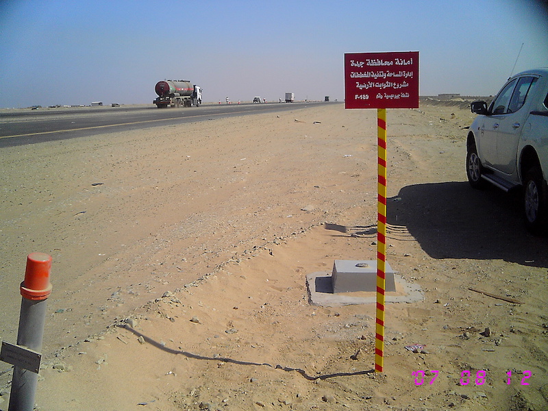
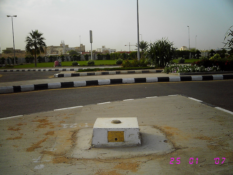
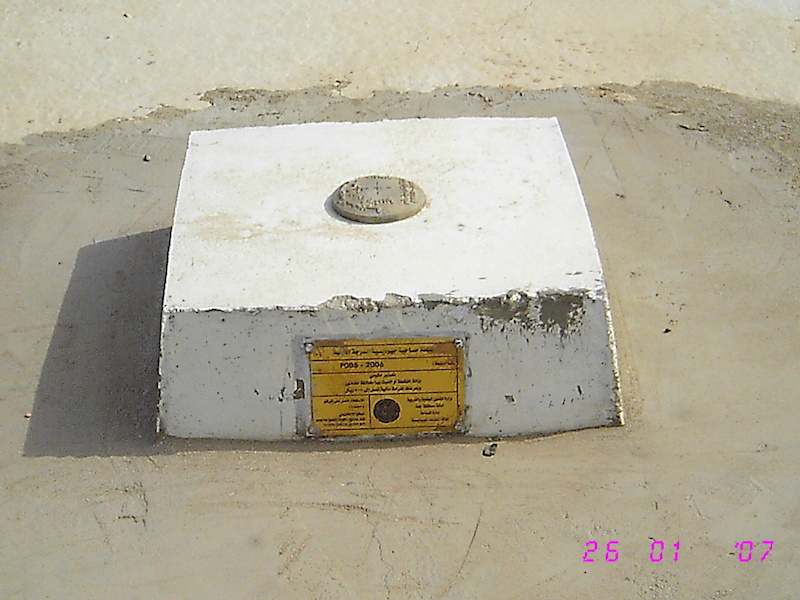
From the beginning of the year 2006 until 2009, Talal Adham and Partners Company (TAPC) was contracted by the Surveying Section of the Municipality of Jeddah in the Kingdom of Saudi Arabia to install six (6) Continuously Operating Reference Stations (CORS) and one hundred sixty-eight (168) survey control points scattered all over Jeddah
Out of these 168 points, 31 are primary, 99 are 1st order, and 38 are 2nd order control points. The CORS cover an area of about 51 km in the east-west and 97 km in the north-south direction. The survey control points cover an extended area of about 150 km in the north-south direction.

Quick Links


Head Office
Salma Commercial Center, Al-Sharafiyaah Dist., Madinah Road, Behind Radisson Blue Hotel, Jeddah, KSA
Tel: +966 920 001 701
Fax: +966 12-657 281
Email: Info@tapconsu.com